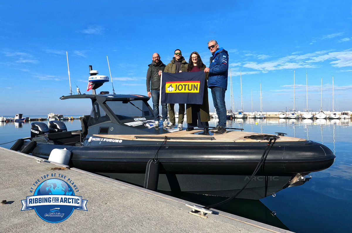
JOTUN HELLAS is Platinum Sponsor of RIBBING FOR ARCTIC!
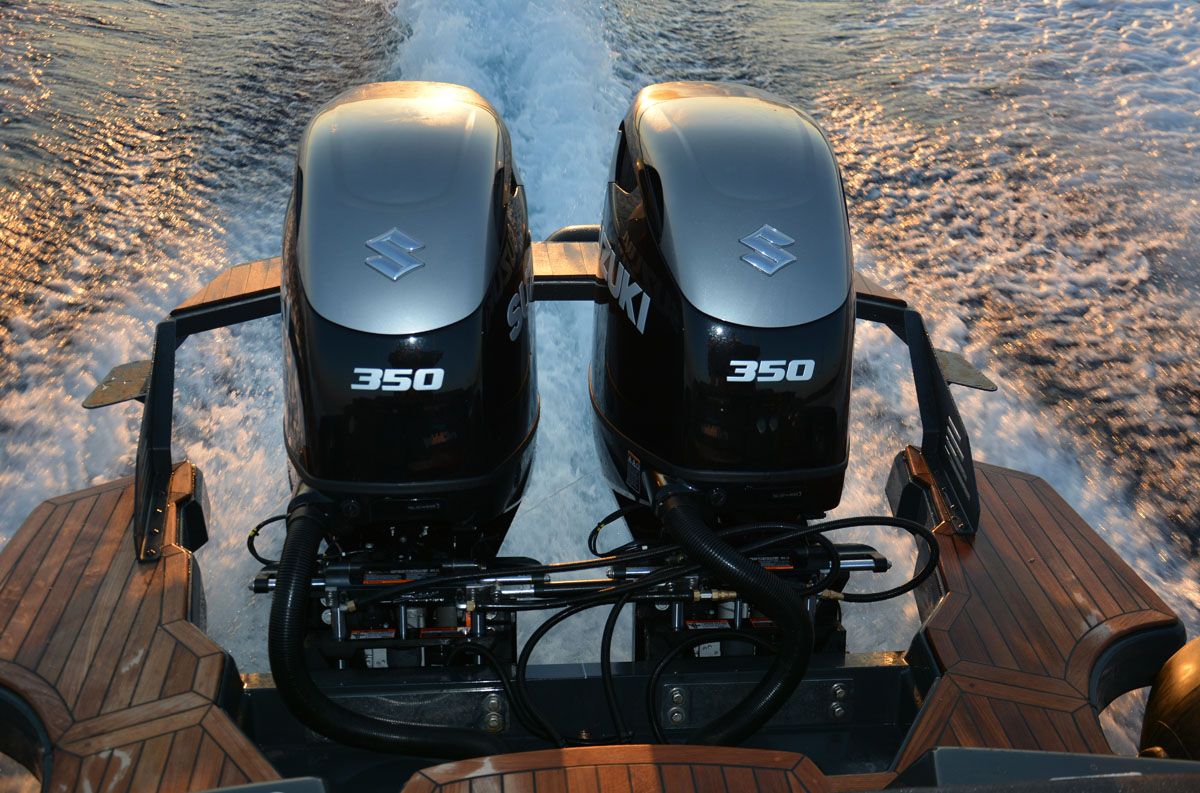
Motocraft S.A. is among the Platinum Sponsors of RIBBING FOR ARCTIC!
JOTUN HELLAS is Platinum Sponsor of RIBBING FOR ARCTIC!
Motocraft S.A. is among the Platinum Sponsors of RIBBING FOR ARCTIC!
Why we chose Furuno and Timezero Navigator
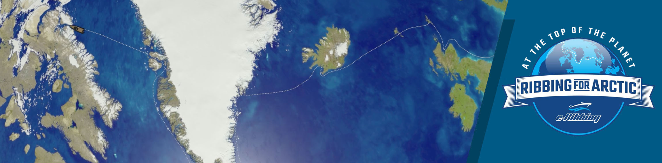
Undoubtedly, the “RIBBING FOR ARCTIC” expedition is the highlight of 2022 in the world maritime events. It is the first time a recreational rigid inflatable boat will attempt to enter the Arctic Circle, cross the Atlantic Ocean and the mythical Northwest Passage.
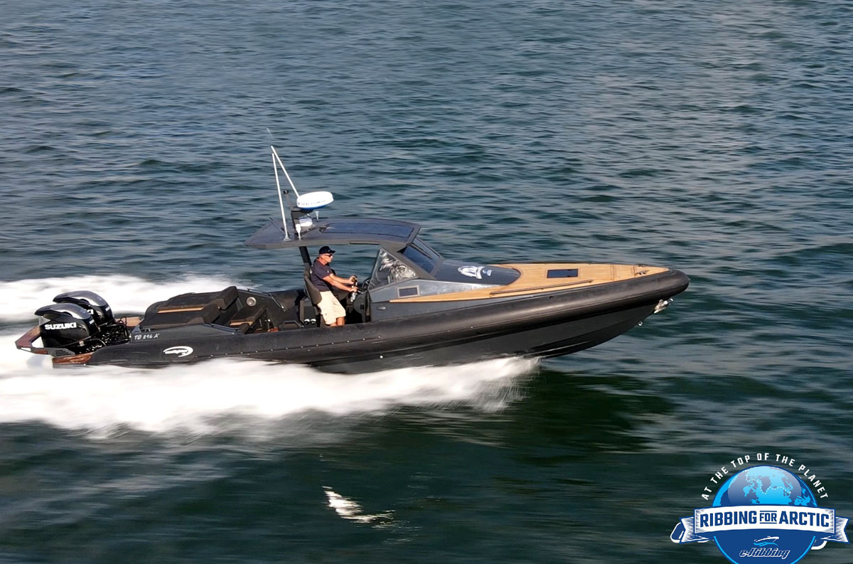
In such a demanding mission, of course, the appropriate electronic equipment is absolutely required. This is why we chose Furuno as our partner, which offers high quality equipment having many decades of experience while also distinguished for its innovative and highly reliable products that will help us navigate accurately and safely in the open seas.
Being well aware of we are going to navigate in the most difficult seas of the northern latitudes, where the low barometric systems are almost permanently around of Iceland and Greenland while the weather conditions are changing rapidly we need a reliable and easy to use navigation software so as to be able to take fast and safe decisions taking into account many parameters.
This is why we decided to trust Timezero which has a huge experience of more than 30 years.
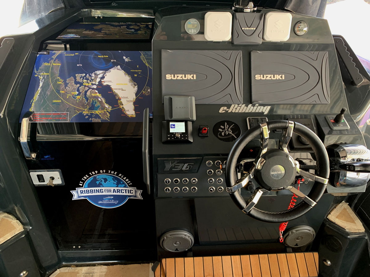
Connecting directly to any Furuno NavNet system via a simple Ethernet connection, the Maxsea TimeZero Navigator marine navigation software combined with a large map coverage area that can be selected from a complete list of electronics maps of C-Map fully covers all the needs for safe navigation with the following main features:
- Boat location
- Weather forecast service
- Free global tide database
- Route and point management
- AIS function included, the ultimate collision avoidance tool!
- 3D data and satellite imagery combined to get the best information about our trip
- Excellent cartography
Navigation has never been safer and easier even for the less experienced (beginners).
The perfect combination of marine charts, satellite Earth pictures, 3D data, weather forecasts, tides and currents will give us the best possible sense and feeling of the real and natural environment around our boat and our courses.
We will have easy access and control valuable information taking only a few minutes to navigate through the TimeZero Navigator having a wonderful sense of customization.
Seating comfortably in our cabin, we will have the ability to prepare routes and plan passages on our PC and then just to export them to the plotter on dashboard.
With high resolution photos and the charts, we can easily find the best harbor or inlet to moor in.
Weather forecasts can be overlaid directly onto our chart while we can watch the weather forecast progresses daily, for the next 16 days getting a great knowledge of the weather conditions helping us to safely decide which days could be preferred for cruising especially when we are planning to cover long distances. Knowing the wind direction and its speed, in combination with the wave height, we can plan the most comfort route arriving safely and faster to our destination achieving also the best possible fuel consumption.
And all these will be visible through the screens of Furuno, on the durability of which we rely for the very extreme conditions that we will face.
...keep Ribbing!